Did you know…
Why don't planes fly in a straight line?
Short answer
They do fly in a straight line, but on a sphere: the shortest route between two points is a great-circle arc, which on a flat map appears curved toward the poles. On top of that geometry come fixed airways, high-altitude winds, restricted airspace, and rules on distance from alternate airports, which push the real trajectory even further from the line on the map.

A straight line on a sphere doesn't look like a straight line
Most maps we look at flatten the Earth using projections like Mercator's, which exaggerate high latitudes. In that representation, the shortest distance between Madrid and New York looks like a horizontal line, but on the real globe the minimum path is a great-circle arc, the one obtained by cutting the sphere with a plane through its center. That arc bends northward in the northern hemisphere, so a transatlantic flight passes over Newfoundland and skirts Greenland. On a flat map that path is perceived as a curve, even though for the aircraft it's the most direct trajectory possible. The savings aren't trivial: on long routes, the difference between the great circle and the straight line on the map easily exceeds several hundred kilometers.
Airways, not open country
Even with that geometric correction, almost no commercial flight follows the great circle exactly. Airspace is organized into airways, corridors defined by radio navigation aids and five-letter reporting points, and into departure and arrival procedures that funnel traffic toward airports. The flight plan chains those segments together, and air traffic control can add holds, radar vectors, or level changes to maintain separation. Over the oceans, where there's no continuous radar coverage, organized track systems are published daily, grouping traffic into parallel lanes; the North Atlantic tracks change every day depending on the position of the jet stream.
Wind rules the economics of flight
An airliner cruises at around 900 km/h (485 kn) relative to the air, but what matters is the speed relative to the ground. The jet stream, a band of wind at 9-12 km altitude that can exceed 250 km/h, makes it worthwhile to deviate tens or hundreds of kilometers to ride it eastbound or dodge it westbound. Dispatchers calculate the lowest-cost route every day by combining time, fuel, and overflight fees, and that route rarely matches the geodesic. Areas of forecast turbulence, convective storms, and volcanic ash are also routed around, sometimes with diversions planned hours before takeoff.
Borders, no-fly zones, and alternate airports
Airspace isn't uniform. There are military zones, prohibited areas, and countries whose overflight is closed off due to conflicts or diplomatic decisions, forcing detours that lengthen routes between Europe and Asia. Twin-engine aircraft, which today make up the vast majority of long-haul airliners, must also stay within a maximum flying time to a diversion airport with one engine inoperative, the so-called ETOPS rules. In remote areas of the Pacific or the Arctic, that requirement shifts the route toward islands or coastlines with suitable runways. The result of all these layers, geometry, traffic, wind, and regulation, is a trajectory that looks whimsical on the map but follows the logic of safety and cost per mile flown.
More questions
Physics of flight
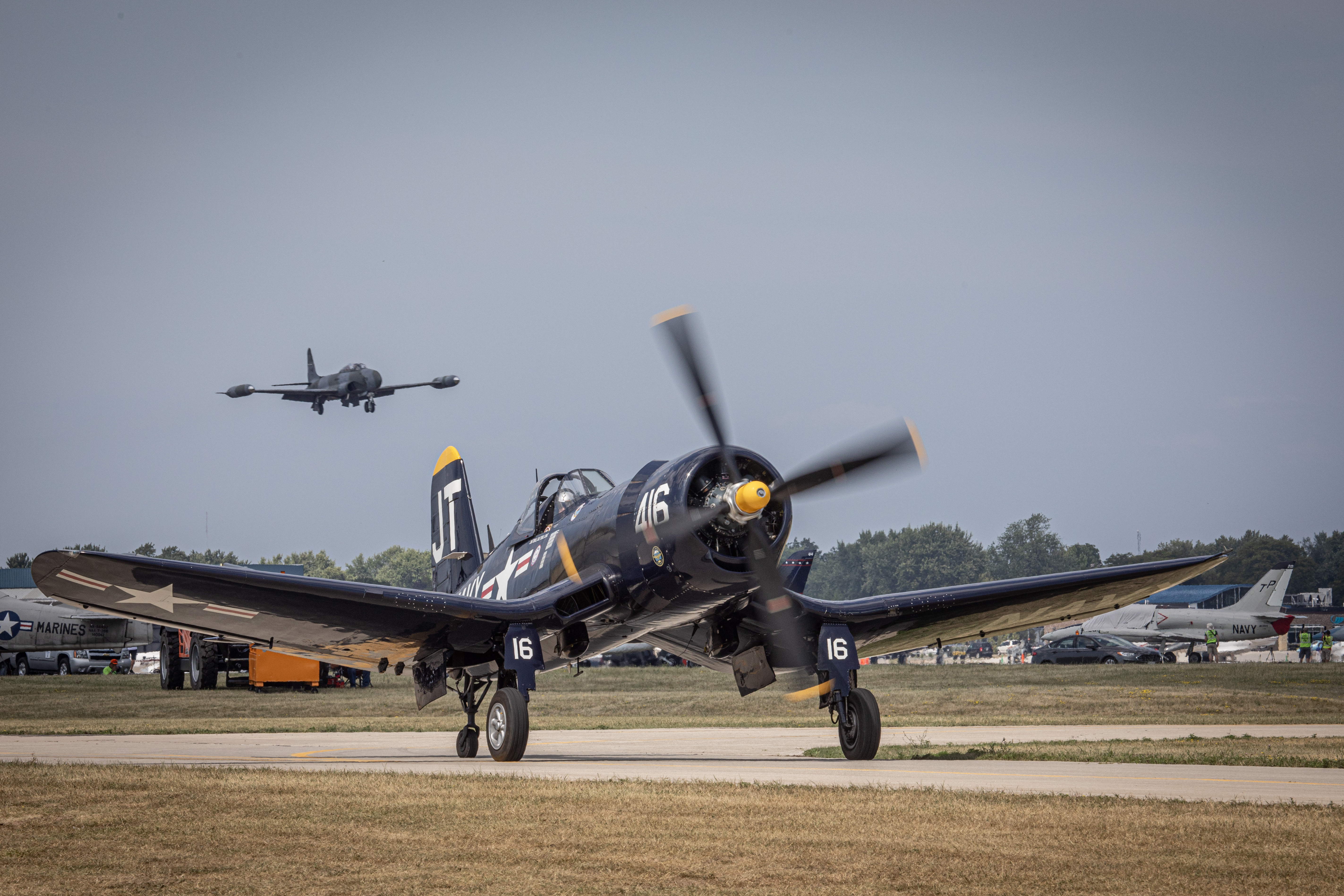
Why can't a Corsair pilot apply full power when going around after a failed carrier landing?
Because at low speed and high power the Corsair would drop its left wing suddenly and with almost no warning, due to propeller torque. If the throttle was… more…
Physics of flight
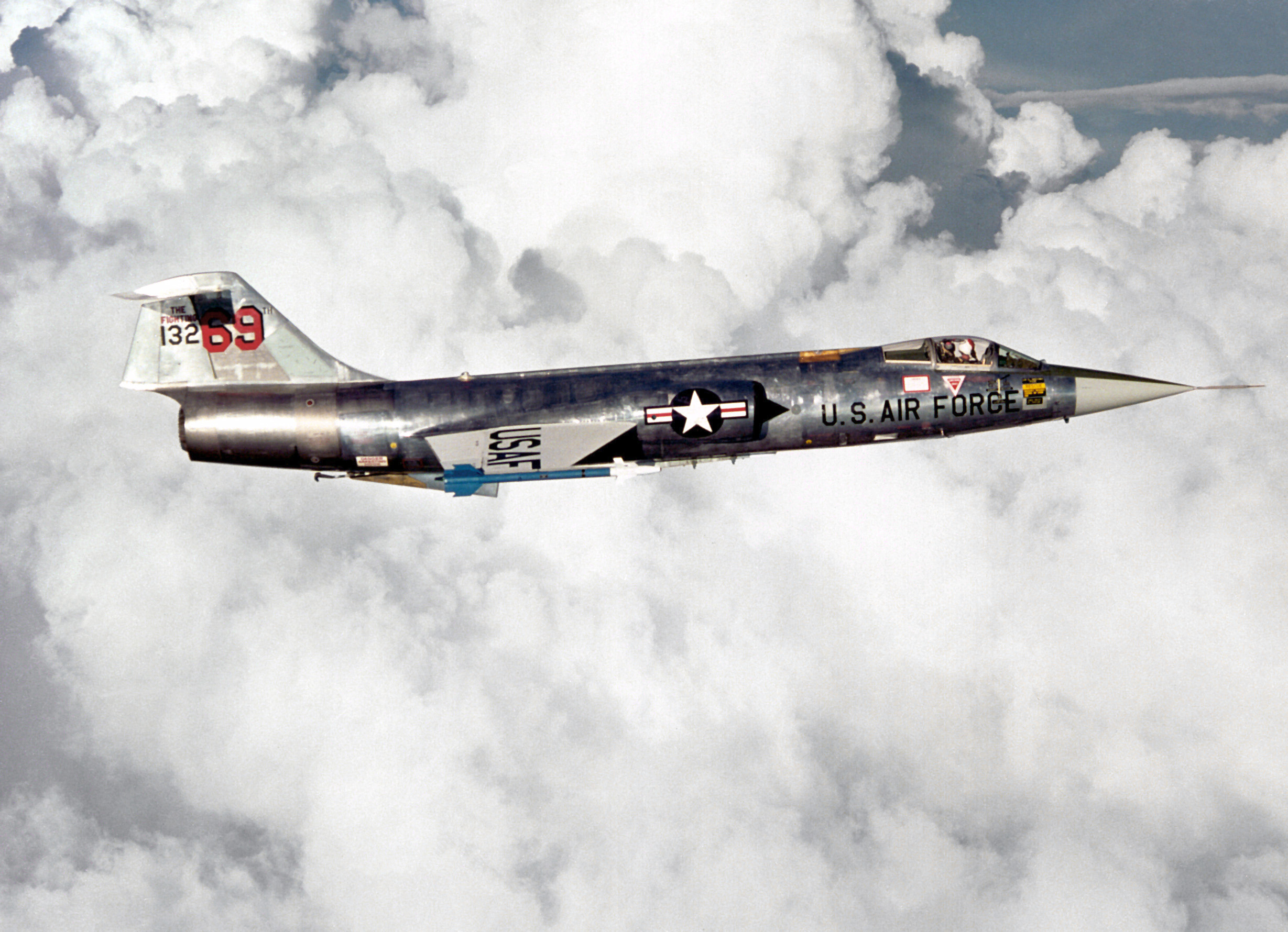
What did the phrase "banking with intent to turn" mean among F-104 pilots?
It was a joke among Canadian F-104 pilots: banking the aircraft "with intent to turn" referred to its poor low-speed turning. Its sustained turn capability… more…
Julian Herzog (Website) (CC BY), vía commons Physics of flight
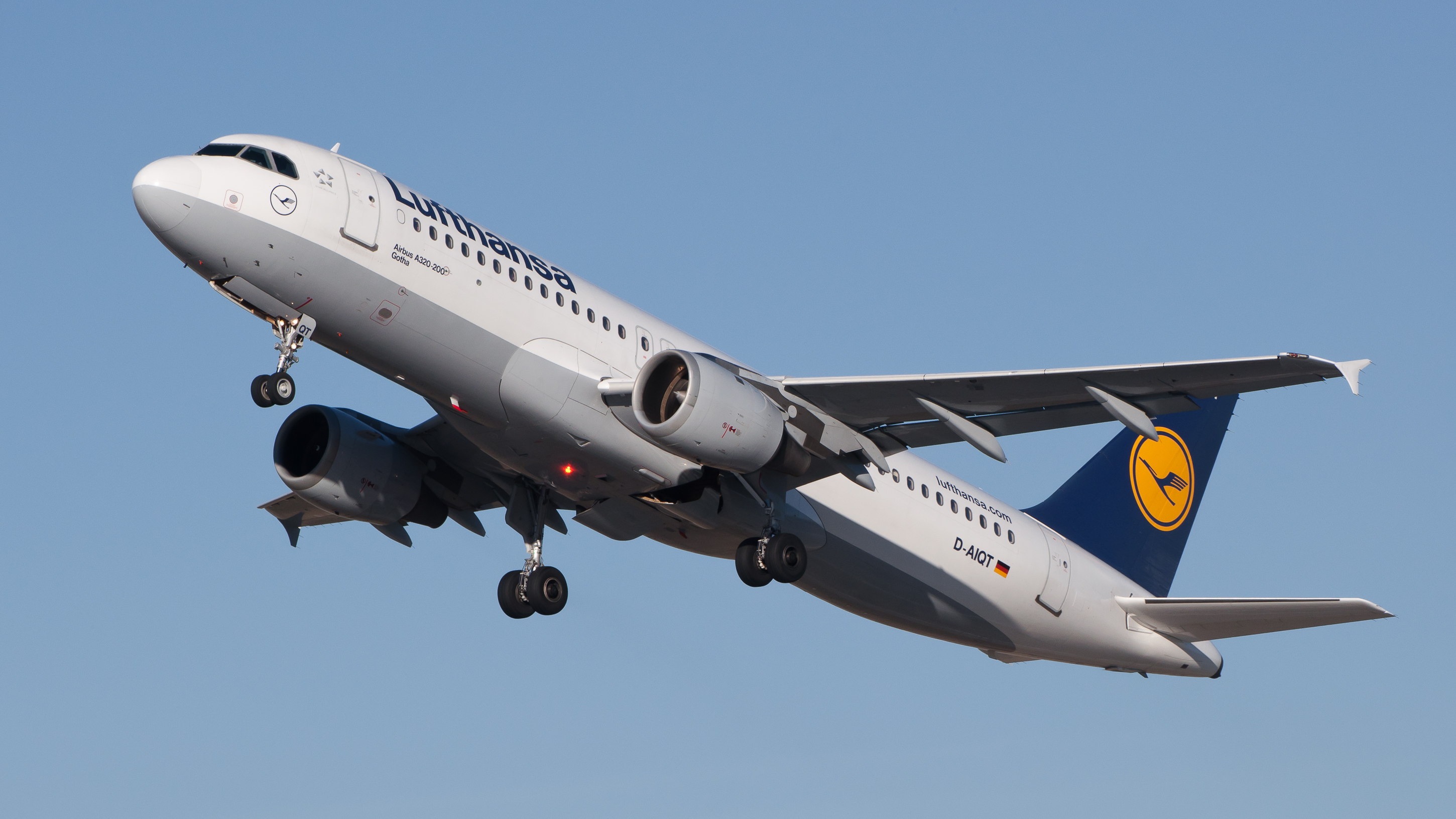
What is "flight envelope protection," which the A320 pioneered?
A set of limits embedded in the flight control software: it calculates the flight envelope, adds a safety margin, and blocks pilot inputs that would take the… more…
Julian Herzog (Website) (CC BY), vía commons Physics of flight
What is the A320's SHARP package for?
SHARP (SHort AiRfield Package) improves takeoff and landing performance on short runways and is designed to increase low-speed lift. It combines aerodynamic… more…
Physics of flight
What flaw sank Vought's all-metal V-141 fighter?
It wasn't a single flaw: tests showed the V-141 still flew poorly, was prone to spinning, and also suffered tail flutter, which is why it was rejected. It… more…
Physics of flight
What wind tunnel did NACA use to study the Corsair, and how big was it?
The full-scale 30- by 60-Foot Tunnel at the Langley Research Center, in Hampton, Virginia. NACA dedicated the facility on 27 May 1931 and used it to test the… more…


